


Height Limits and View Corridors: Safeguarding Fernandina Beach’s Waterfront Character
I attended the Historic District Council meeting last week where the Amelia River Wharf proposal was sent back for redesign. While the project includes promising elements like public boardwalk extensions, a resiliency wall contribution, and new waterfront dining and retail, the discussion highlighted ongoing challenges with how we apply our rules on height and views. These standards exist for good reasons, and sticking to them consistently matters for the long-term character of our community.
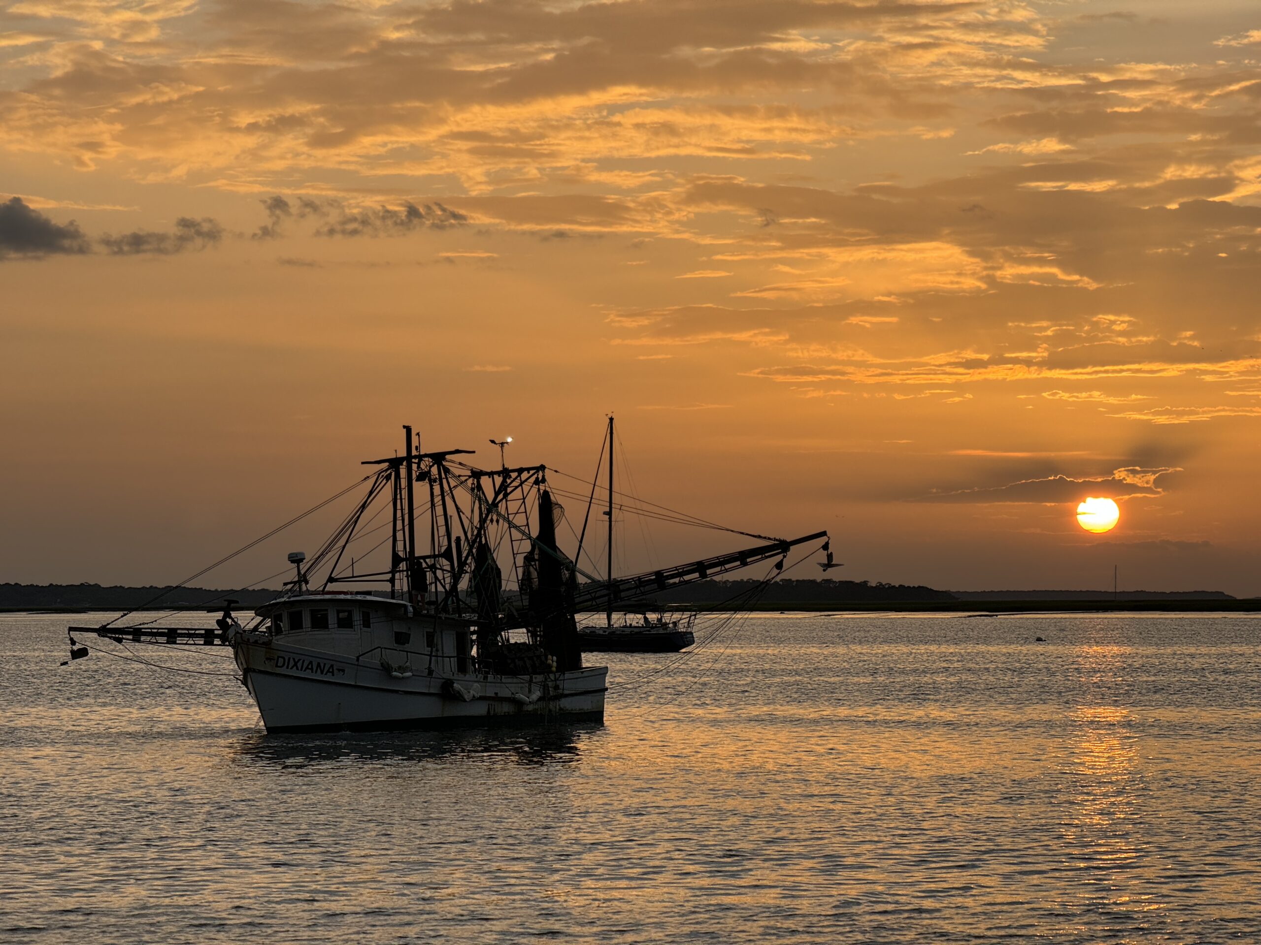
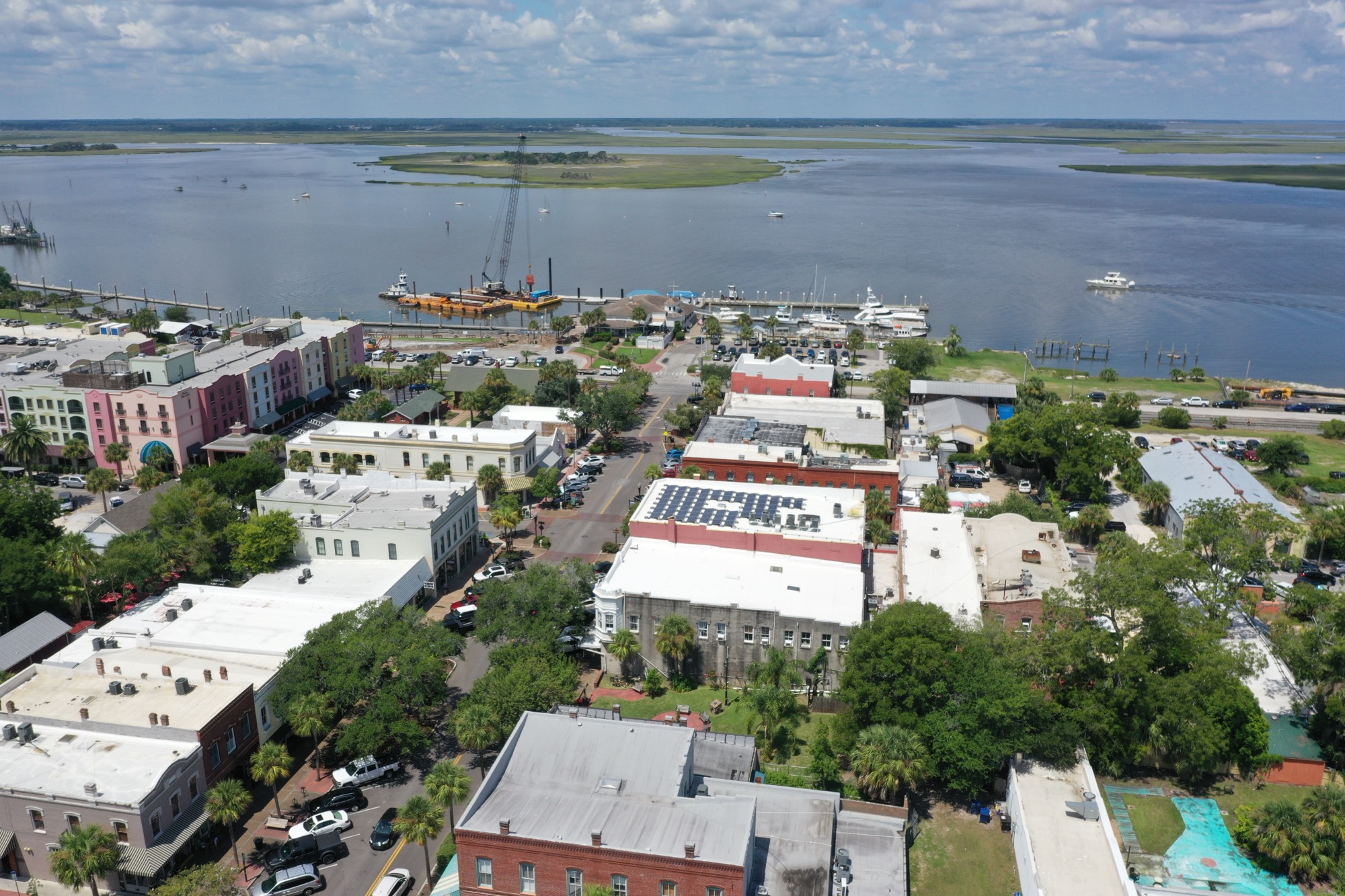
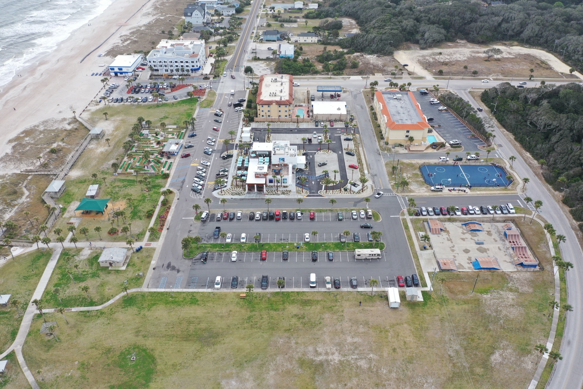
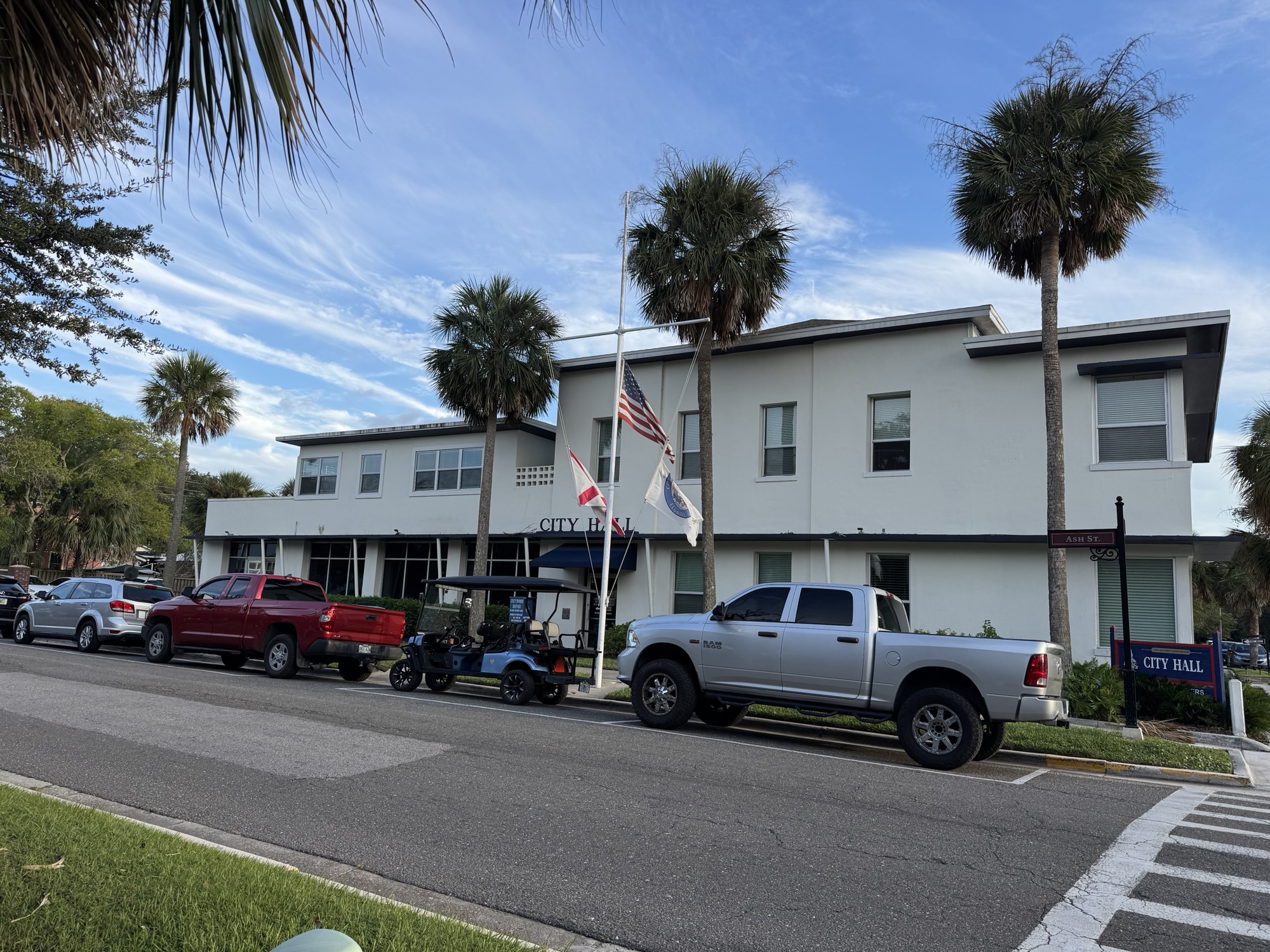
Height limits in the Community Redevelopment Area—generally 30 feet above Base Flood Elevation, with limited allowances for screening mechanical equipment and certain architectural features—are not arbitrary. They help maintain the human-scale, pedestrian-friendly feel that defines downtown Fernandina and the waterfront. Our historic buildings and the open relationship to the Amelia River and marshes are what draw residents and visitors alike. Allowing significant variances risks creating a wall of taller structures that changes that experience permanently. Once one project gets extra height, it becomes easier for the next one to ask for the same, leading to incremental changes that erode the very qualities that make this place special. Consistent limits also support smarter flood-resilient design and protect property values tied to our distinctive low-rise waterfront setting.

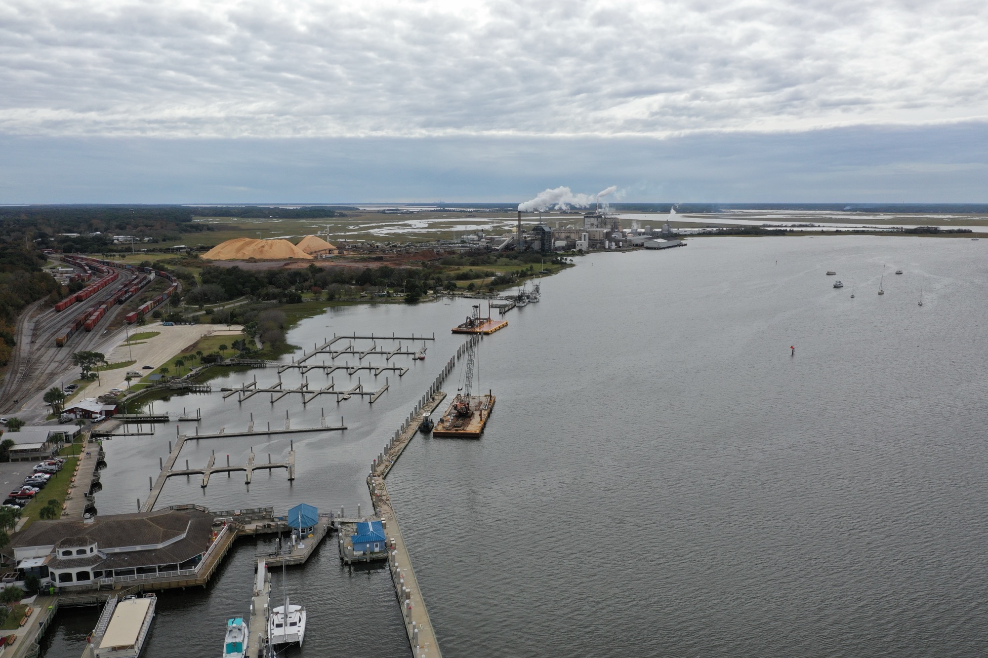
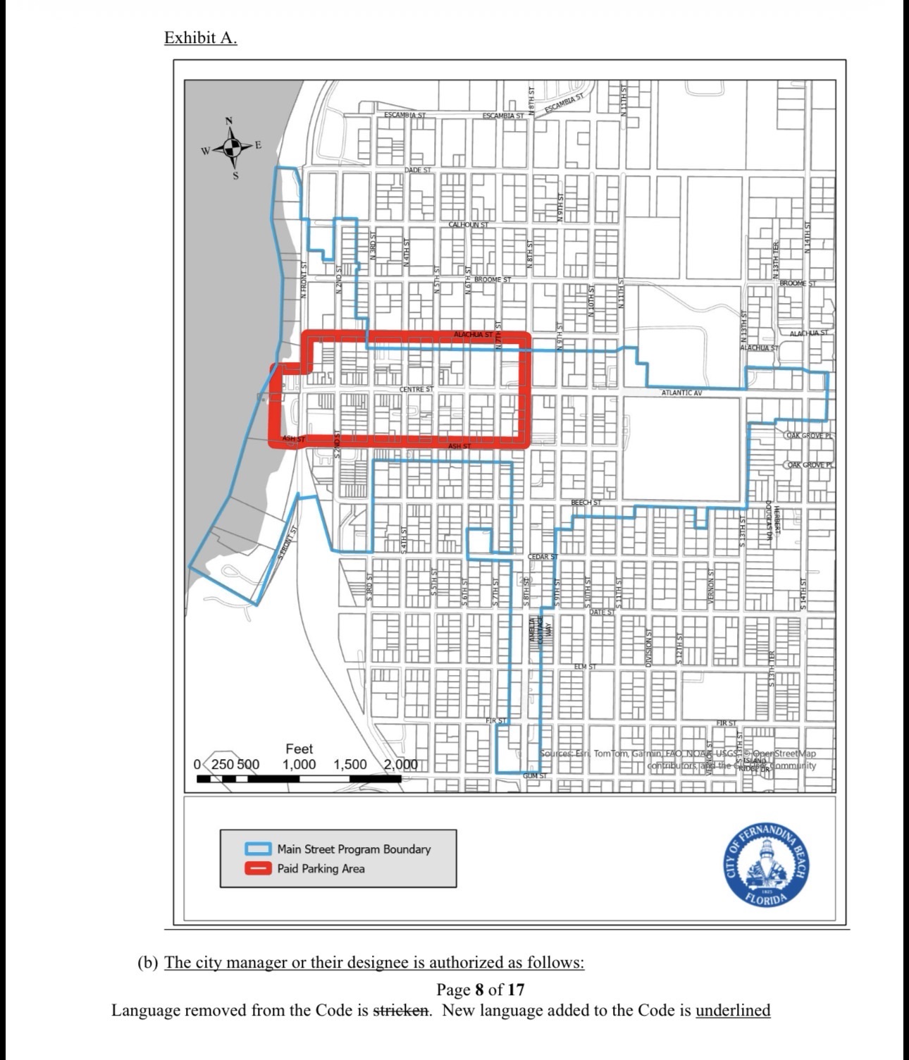
View corridors play an equally important role. In the CRA along the waterfront, specific requirements apply to water lots abutting the Amelia River. These typically call for 15-foot side-yard corridors on each side (north of Centre Street) or minimum 30-foot breaks between buildings (south of Centre Street). The corridors must stay open to the sky with no parking, accessory structures, or mechanical equipment inside them. Their purpose is straightforward: preserve public views of the river from Front Street and maintain physical pedestrian connections to the water. Even if a building technically meets side-yard setbacks, features like elevated gangways or massing can still block sightlines, which is why the board raised concerns in the recent case.
In our historic districts more broadly, visibility corridors (frontage, side-yard, and mid-lot) serve a related but distinct purpose. They help maintain the visual pattern of the original Spanish colonial lot layout—often called peonias and media peonias—so that the historic grid and sense of space remain legible even as buildings are renovated or replaced. These rules apply based on location and zoning, not uniformly to every single property in the city, but they are strategically required where they protect the historic fabric and public views that define Amelia Island’s downtown.
The common thread is that both height limits and these corridor requirements are tools for balanced, predictable development. When decisions lean too heavily on subjective “feel” rather than clear, written standards and the existing Certificate of Approval Matrix, we create uncertainty for property owners and risk uneven outcomes. Precedents set today shape what happens for years to come. A more objective framework benefits everyone: applicants know the
expectations upfront, the public gets reliable protection of cherished views and scale, and the HDC can focus on compatibility without second-guessing.
Fernandina has always grown thoughtfully while protecting what makes it unique. As waterfront parcels see renewed interest, getting these fundamentals right—height that respects context and corridors that keep the river visually and physically accessible—will determine whether new investment enhances or diminishes our community’s character. Clearer, consistently applied standards are the best way forward.
This post was prepared with AI assistance for research, fact-checking, and initial drafting.