


Opinion: Fernandina’s Waterfront Resiliency Project: Big Cost, Small Coverage
Boundaries vs. Scope
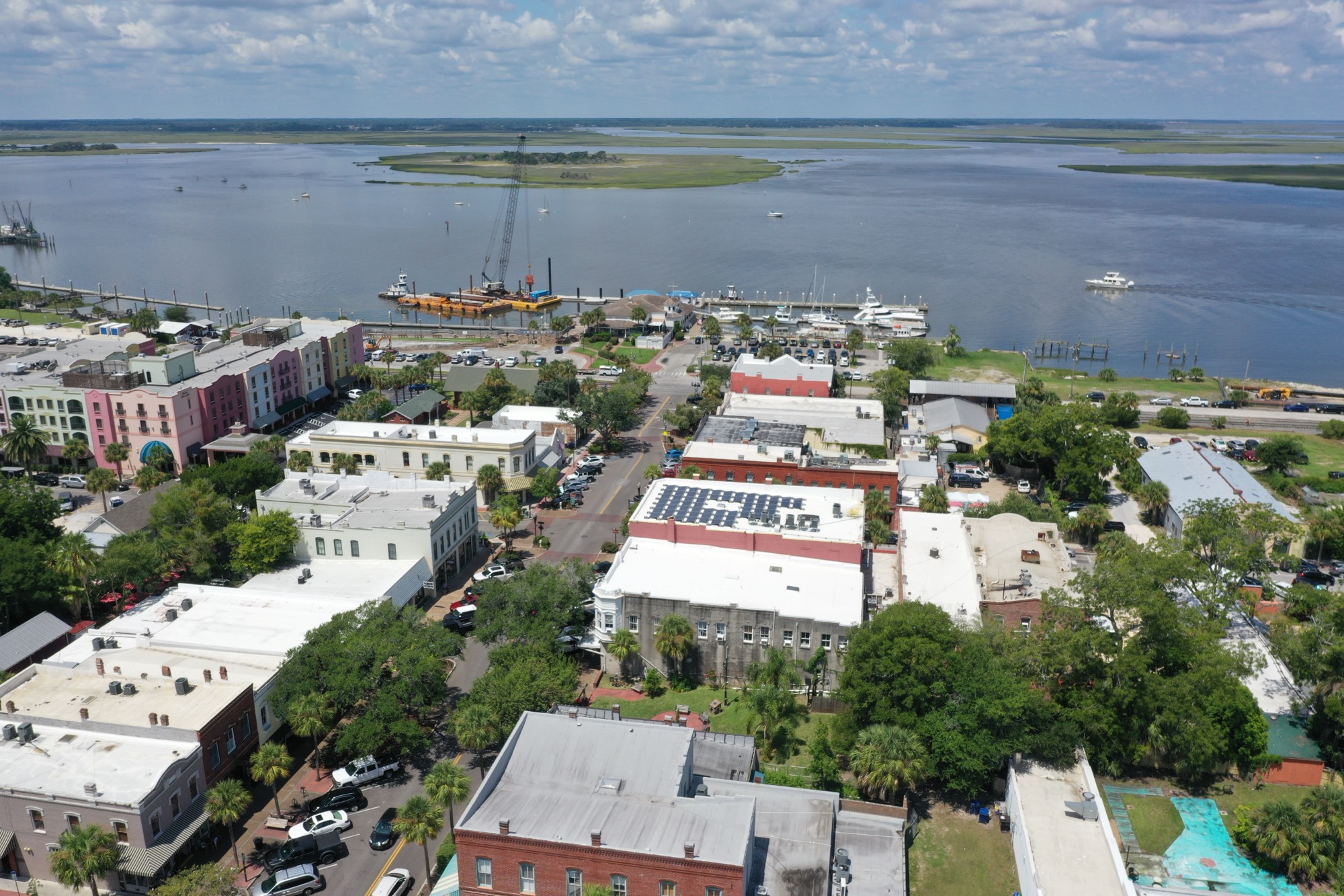
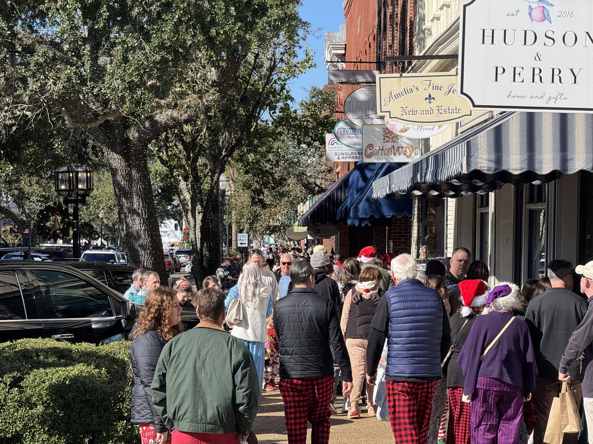
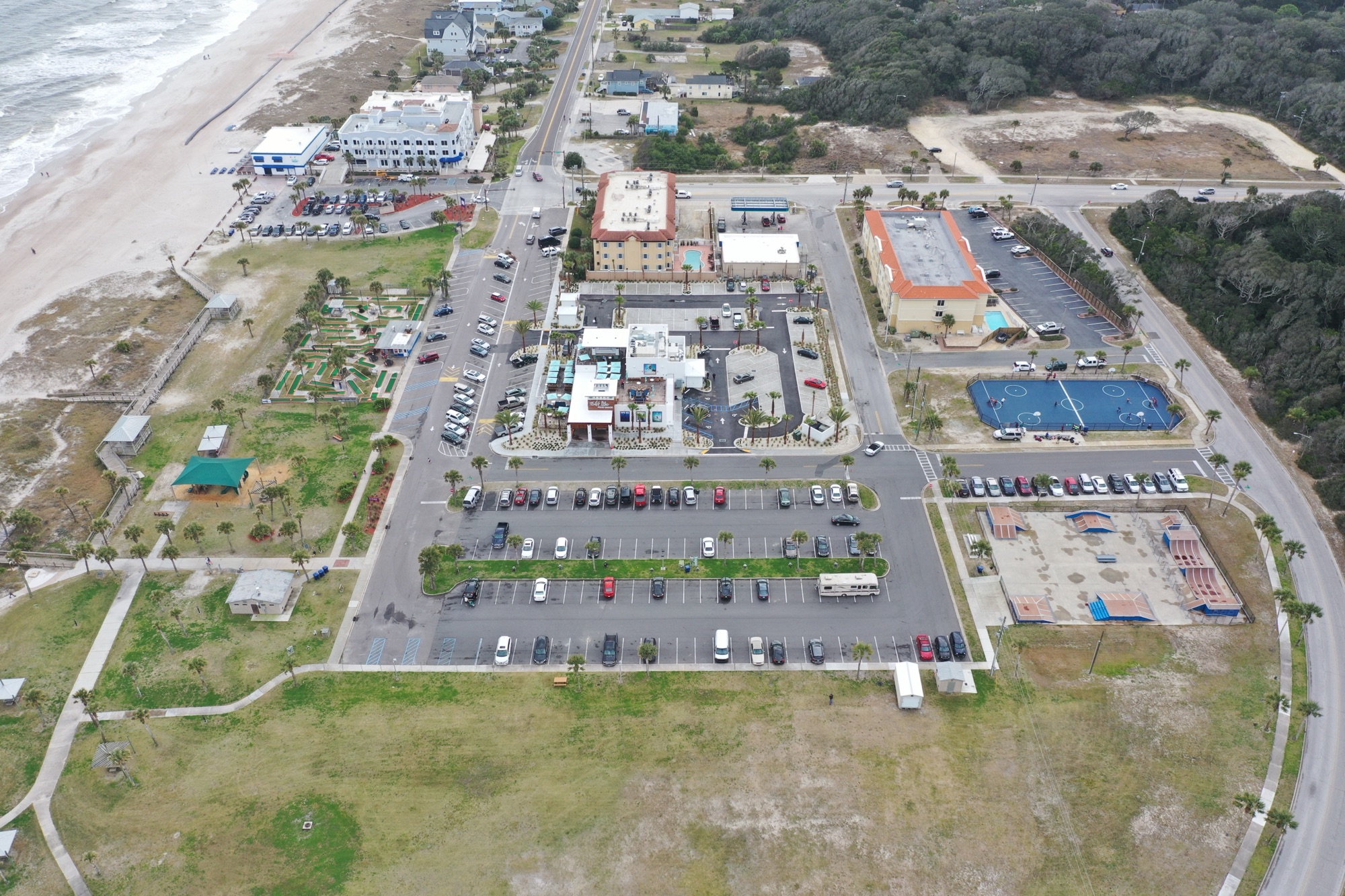
Fernandina Beach covers roughly 12 square miles at the north end of Amelia Island, with about 13,000 residents. Yet the Waterfront Resiliency Plan focuses on a narrow 1.1-mile stretch of downtown riverfront, only a few blocks deep. While promoted as “protecting Fernandina,” in practice it is a downtown-only project—covering less than 5% of the city’s land and population.
The Price Tag
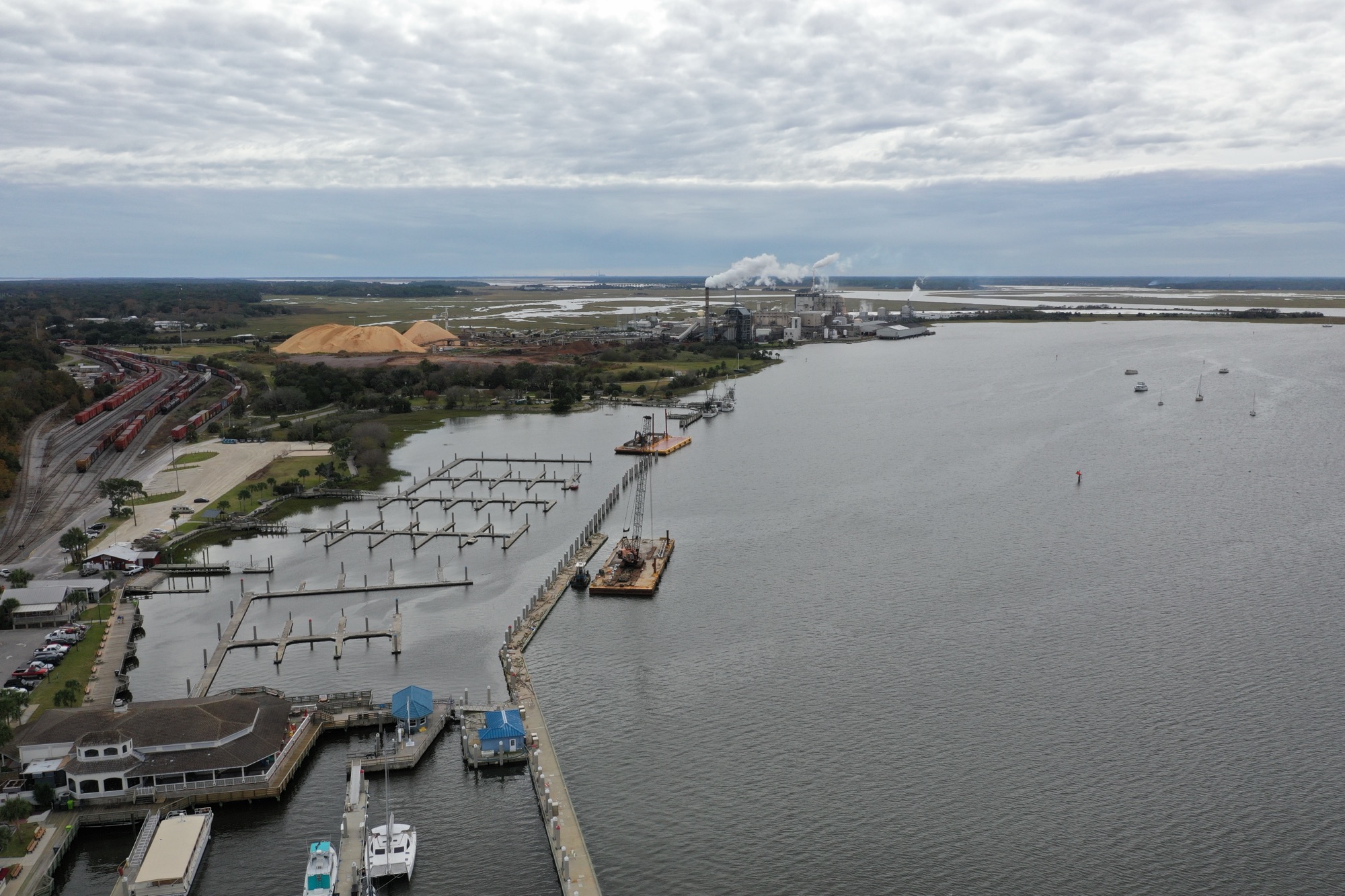
Estimated $20–22 million just for the “resiliency wall” portion inside the larger $157 million capital plan. This makes it one of the largest infrastructure expenditures in city history. The benefits concentrate on a handful of Victorian storefronts, the marina, and a waterfront park.
What It Protects — and What It Doesn’t
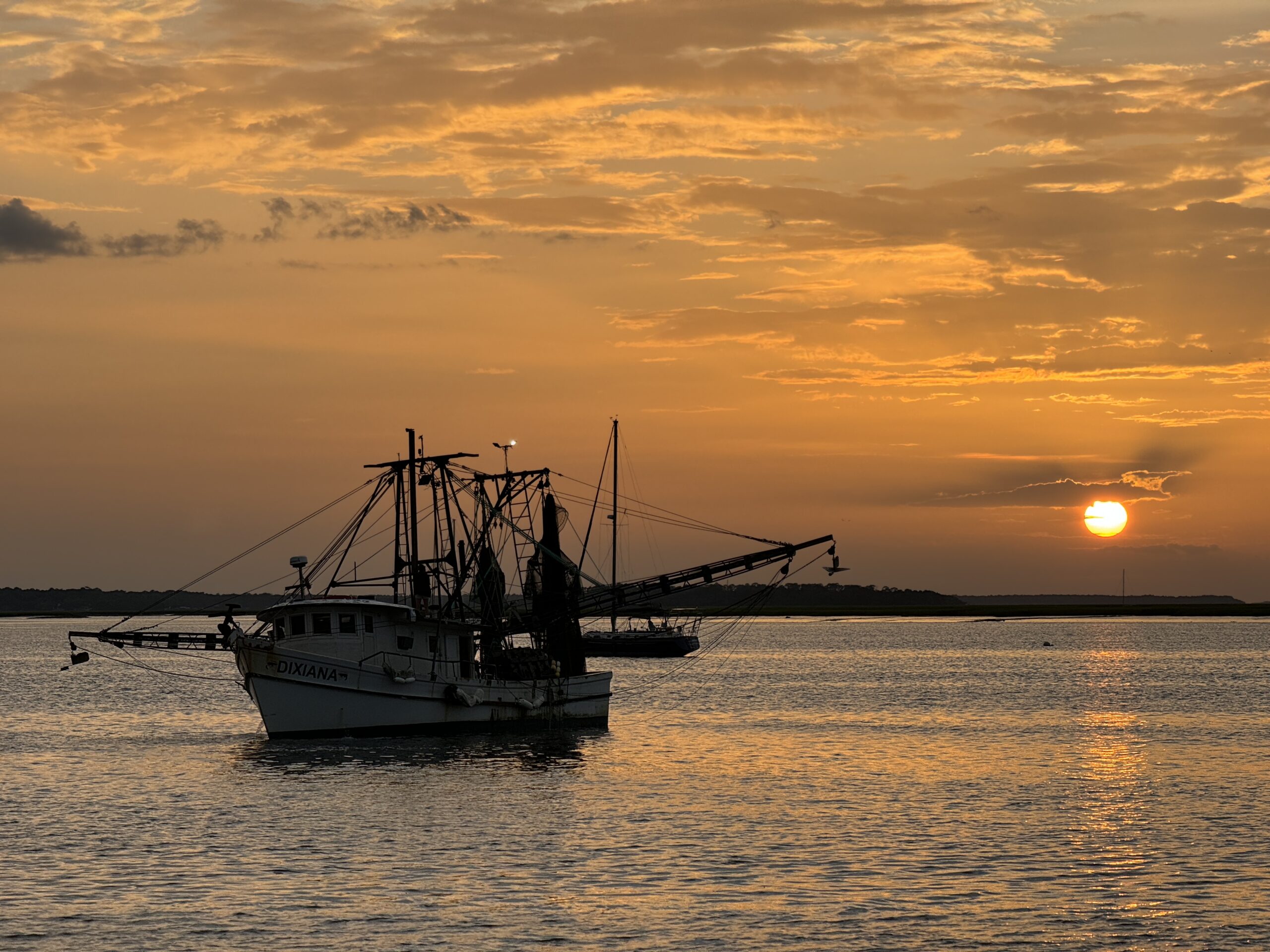
Nuisance and king tides: The wall (+9 ft NAVD88) plus small living shoreline patches (oyster bags, marsh grass) reduce minor flooding and wave chop, sparing businesses from saltwater intrusion. Major hurricanes: Storms like Hurricane Dora (1964) and the 1898 hurricane drove water 12+ ft above normal tide. A +9 ft wall is overtopped in those cases, with wind, rain, and wave run-up doing far more damage than the river ever has. Erosion: The Amelia River downtown is bulkheaded and industrial. Erosion is not the hazard here. Living shoreline is mostly habitat/beautification, not structural protection.
Disproportionate Expense
This project is essentially tens of millions to protect two or three downtown blocks. Meanwhile, the overwhelming majority of Fernandina Beach—including Egans Creek, the beachside neighborhoods, and inland residential areas—remains exposed.
The net result: overbuilt for nuisance flooding, underbuilt for catastrophic storms. It’s politically visible, but functionally narrow.
Bottom Line
Yes: It reduces repeated saltwater nuisance flooding along downtown’s edge. No: It will not “save” Fernandina in a Dora-scale storm. Big Picture: It’s a disproportionate expense for limited coverage, more about protecting the postcard view than the city as a whole.
Disclaimer: This analysis was generated with the assistance of AI using publicly available data and historical storm records. It reflects a best-effort synthesis of engineering documents, city reports, and historical accounts, but it should not be considered definitive technical advice.